TIME ELAPSED SINCE DEPARTURE : 1 YEAR AND 2 WEEKS
DISTANCE TRAVELLED : 32,026 KMS
LAKE ARGYLE
The route from El Questro to LAKE ARGYLE passes through the town of KUNUNURRA
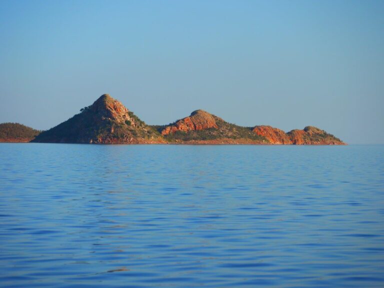
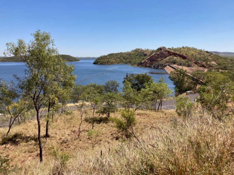
and across a dam wall that holds back the ORD RIVER. I did not know that The Ord was dammed in two locations. One there at Kununurra that forms pretty Lake Kununurra in the middle of the town and the second dam is holding back The Ord some 80 kilometres upstream to form mighty Lake Argyle, the largest man-made lake/reservoir in mainland Australia. Goodness, there is the equivalent of 21 Sydney Harbours of water in Lake Argyle! It’s huge. (Sooz: And it is stunningly beautiful.) The dam wall construction was completed in 1971 and it has created quite a stunning environment, not too dissimilar to Lake Mead in Nevada, USA. By that I mean there is a large body of bright blue water that has a backdrop of dramatic cliffs that are sunburned and rugged. But here, compared to it’s American counterpart, there are hardly any people. Lake Mead apparently receives some 7.5 million tourists a year. In contrast, we are in the remotest part of Aust and there is only one caravan park in the vicinity of the lake. There is nothing else or no one else until you get to Kununurra about 75 kilometres away. So it’s a hike to get supplies if you did not bring all that you need with you although the caravan park shop has basic necessities.
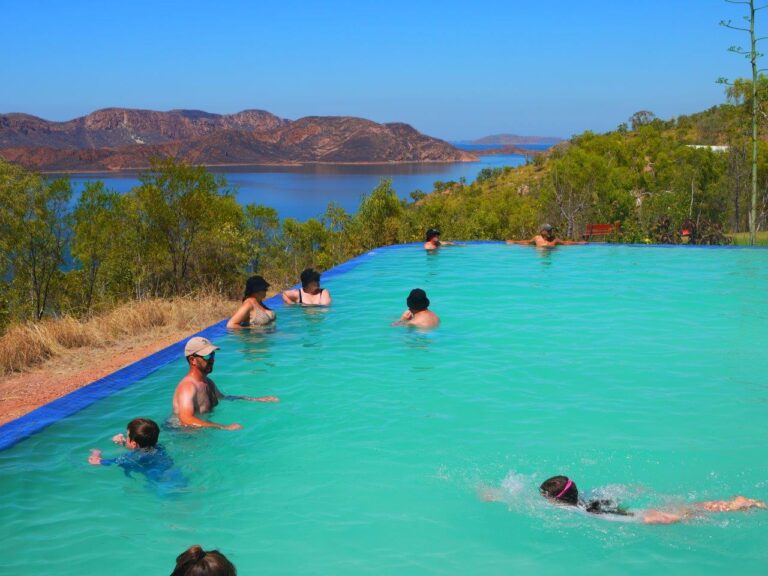
The caravan park is set up rather high on one of the cliff tops and has a fantastic infinity swimming pool providing a magnificent view across part of the lake. The shape of Lake Argyle and the high cliffs and islands are such that you are unable to see it in its entirety unless you were 3000+ metres up in a plane or helicopter. Helicopter rides are offered but we passed as they are expensive and as I have mentioned previously, we just cannot do all the tours that are provided at all tourist locations. We did, however, take a most wonderful ‘Sunset Tour’ by boat. The tour took us to various locations where we fed fish, spotted freshwater crocodiles and rock wallabies and just enjoyed the scenery. Way in the distance across the water and on the horizon some 40 kilometres away were flat-topped ranges that were in the Northern Territory. That was at the far eastern point of the lake. (Sooz: Feeding fish included feeding Spotted Archer fish – a fish that very accurately spits water at its prey (insects out of the water on branches) causing them to fall into the water. It was a hoot!)
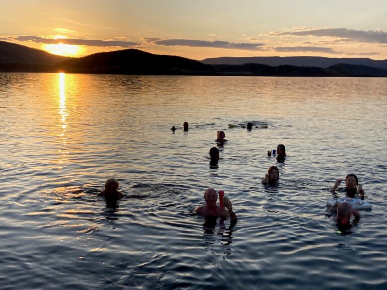
There were a good number of punters on board the boat (i.e. not too many), terrific interesting commentary and a swim in the lake that I will never forget. The water was 28 degrees, we all had pool noodles (the depth was 20+ metres) and once we were all in the water around the stern of the boat, cold beers or glasses of champagne were passed down. Well, the champers was passed down – the beer cans were thrown to those who wanted one. So there we all were, floating around in calm waters, clutching our libations in a beautiful peaceful environment while the sun set. And then a tray like a big esky lid was pushed out from the boat and it was loaded up with biscuits and dip and it floated to wherever it was nudged. Fantastic! We were all in the water drinking, nibbling and sharing stories & experiences for a good 20 minutes. (Sooz: It was an unforgettable way to have sundowners!) Oh, and in case you are wondering, freshwater crocs are not a threat to us humans (there are around 25,000 ‘freshies’ that call the lake ‘home’) but there are no nasty Estuarine or what are more commonly known as Saltwater crocs, present.
Another thing I did not know was that the town of Kununurra was built in the 1960’s for the purpose of being a resource centre for the construction of the lake which was created to irrigate large swathes of the East Kimberley. However, it can be argued that the lake is under-utilised as initially, the irrigation was for the growing of rice. That failed because many waterfowl, particularly Magpie Geese, ate the rice faster than it could be planted and thus the rice idea was abandoned. I reckon the birds would thus be as disappointed as the original planners! Nowadays, fruits and crops utilise the irrigation channels but perhaps much more water could be directed to growing food than what is currently happening and that is not my interpretation but the common belief.
The region is now powered by hydro from the lake which is beneficial as diesel used to be the fuel used to generate electricity prior to 1996.
It’s been hot while we’re here. Cloudless skies again (been that way for a month!) and top temps of around 33 – 35 degrees. Breathless. No wind. Dead calm day & night. Warm nights too. So glad they have a lovely infinity swimming pool here at Lake Argyle caravan park. Oh, and they also have a nice beer garden and a stage for live entertainment. (Sooz: I am loving the environment – we even found a nice spot in the gardens, overlooking the lake to check emails, write the blog etc.)
ACCOMMODTAION RATING:
DISCOVERY PARKS LAKE ARGYLE: 8/10 Sooz: 9/10
VICTORIA RIVER
‘THE DRY’ is in full swing. We have now entered the Northern Territory and as mentioned a couple of times already, it’s hot and the skies are cloudless, day after day as it has been since Shark Bay WA. Every day, all day. It’s blue from horizon to horizon. We had some clouds one morning in Derby but they were all gone by noon. It was actually nice to have that break from the relentless sun which, given how far north we are, burns a man’s skin even though it’s ‘winter’. There is some humidity, but not much (those readers in Melb or Adelaide or Tassie may disagree). (Sooz: As soon as crossed the border, the speed limit went from 110kmh to 130kmh..The highest speed limit in the country.) True to name, everything is becoming rather dry. The long grass at roadside is mostly brown. Most streams and rivers are dry except for the major ones, and some of them are only a series of pools.
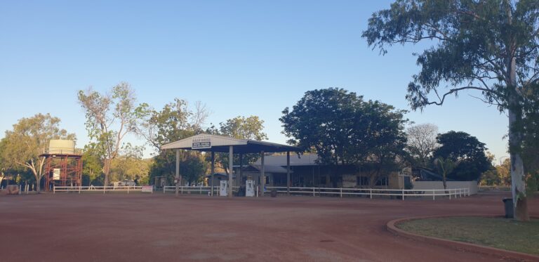
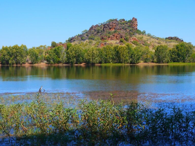
We stayed a night at the VICTORIA RIVER ROADHOUSE camping area and nearby is the river that the roadhouse is named after. It is a 100 metre wide, pretty river lined with gum trees and with high banks, per usual. The surrounding area has red-rock gorges and helicopter rides were on offer. Crocs inhabit it. It seemed to be rather shallow but there is clear evidence that this river’s personality undergoes a major change in The Wet. You can wander down to the river banks from the camp area and see where the highway crosses via a new bridge. Next to the fancy new bridge is an old one which you can walk across and it is some 5 or 7 metres lower than the new one. The pylons on the new bridge show water marks way above the old bridge which itself would be 10 metres above the current river level. We stood on the old bridge for a while looking at the debris and sand that was strewn across it from the previous wet season and I said ‘you know, it would be really good to see The Wet in full flight’ . So ‘The Dry’ is called that because it is really, really dry. It’s not a misnomer! I must therefore assume that ‘The Wet’ is christened that because …………. (fill in the blank).
ACCOMMODTAION RATING:
VICTORIA RIVER ROADHOUSE: 3.5/10 Sooz: 4/10 (yummy steak sangas in the bar)
KATHERINE, NT
This is where the road travelling from the West hits a ‘T’ intersection of the road that will take you to either Darwin or Adelaide. I heard a lady observe that it’s where the outback meets the tropics. That may well be true. The caravan park has plenty of coconut & mango trees from which Susan picked some unripened mangos to make yummy Green Mango Salad. We had two marvellous days at the main local attractions : Edith Falls and Katherine Gorge. At both of these stunningly beautiful places there are plenty of palms and tropical looking plants to confirm that lady’s observation.
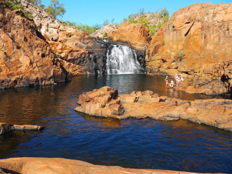
EDITH FALLS is impossibly wonderful. It’s like nature stood back for a while, stroked her chin and said ‘now how can I go about creating the most perfect, the most beautiful natural environment where those human types can swim in a choice of 3 large, tiered rock pools complete with waterfalls? Well, in my opinion, this Nature’s design should win a prize. Especially the Upper Pool which requires taking a 2.6 km loop walk to access it. Here, you stop in your tracks when you first spot it from 100 metres away. A large, gorgeous natural pool with rounded rocks scattered around, palms and a lovely 10 metre waterfall cascading into it. If I try to describe it any further I will short-sell its astonishing beauty. If you are ever in the vicinity, you must visit it. (Sooz: There are two added bonuses that Leigh has not mentioned. First, in parts of the waterfall the water was quite warm. So the overall water temp in the pools was just perfect. Second, although we were not the only people visiting the Upper Pool, it was not busy. There were perhaps a dozen other people there at the same time as us. And not everyone was in the water at the same time. So, it was really special.)
For the day trip to famous KATHERINE GORGE, team Botterill split up. I did the 3-gorge guided boat tour while Susan chose to do the self guided canoe experience.
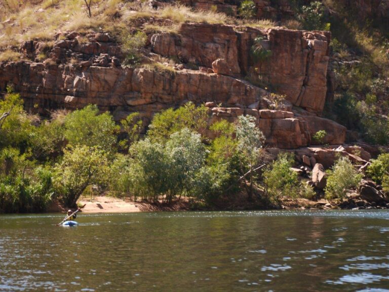
The ‘Gorge’ is actually a series of 13 gorges carved by the river of the same name out of ancient sandstone over a 12 kilometre length. The sandstone is part of the same plateau that stretches into Arnhem Land. In The Wet, it’s one continuous roaring, surging length of rushing and sometimes cascading water. In The Dry, natural rocky breaks separate lengths of calm water. So the cruise takes in one section, where at the end you get out, walk a bit and then get into another boat to cruise the next section etc. It’s very very beautiful and peaceful with the aforementioned tropical vegetation and freshwater crocodiles. Again, there are opportunities to swim in glorious pools and the tour allowed us an hour and a half at one pool to do that and just lay around to enjoy the natural beauty and the 70 metre cliffs that surrounded us.
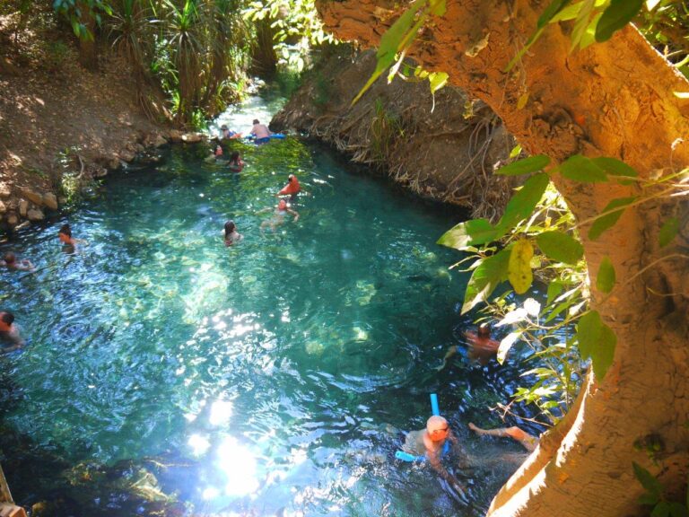
The town of Katherine has a high indigenous population but is quite appealing compared to the likes of Derby or Halls Creek or Fitzroy Crossing and does not appear to suffer the same anti-social issues. Great! 😊 And it has it’s own quite fabulous natural hot springs pools which are the best we have seen thus far. Superb. Right in town, and set just off the Katherine River.
The traditional custodians of this land really were in a piece of paradise. And my guide on the boat tour was a descendant and he was very proud of his region and seemed to love to talk about the indigenous culture and life past & present in the area.
(Sooz: The self guided canoe experience was fantastic. First, all canoeists took a boat through the first gorge, but as our tour was self guided, there wasn’t any commentary. We disembarked and walked over a rocky section to the second gorge, where we donned PFDs and got into our canoes. Paddling along the river was really serene and lovely. I was able to paddle right up to the walls, stop where I wanted, paddle inside a small cave. Lovely! Until…At the end of the second gorge, anyone in a canoe can stop there and return the way they came, or pull up to a rocky divide, drag your canoe up onto the rocks and then carry the canoe about 20-30 metres to the third gorge. So, what did I do – you guessed it. I thought Gorge 3 looked inviting. Luck was with me and a strapping young man carried my canoe across for me. The third gorge was worth it. I decided to explore another intriguing area. Dragged the canoe up on some sand; climbed a staircase, over some rocks around a few bends, and in front of me opened a beautiful rock pool – all to myself. I hustled in and swam and floated and meditated for about 20 minutes before anyone else joined me. Heaven! The only part that was not heaven, was when I had to drag the canoe back across the rocks to Gorge 2 at the end. No nice young man to help that time. )
ACCOMMODTAION RATING:
DISCOVERY PARKS – KATRHERINE 8/10
Over the past couple of weeks, we have had pow-wow’s about how to handle a situation that has arisen that was not part of our plans. Basically, we have received notice from our tenants in Forster that they are moving out. The dilemma is that we were kind of planning to arrive in Forster at the end of Nov, or perhaps next Feb or March. But here we are at the end of August and our place is now empty. Thus we have decided to arrive at our new home earlier than planned as we are not having much luck trying to get a short term tenant (can’t blame anyone for that!) That means not visiting some places: Darwin (and the great National Parks nearby, although we have been there before) and also Karumba, Cooktown and Port Douglas (been to PD before too). So from Katherine NT we are heading to Townsville QLD and will work our way south from there over the next 2 months.
DALY WATERS
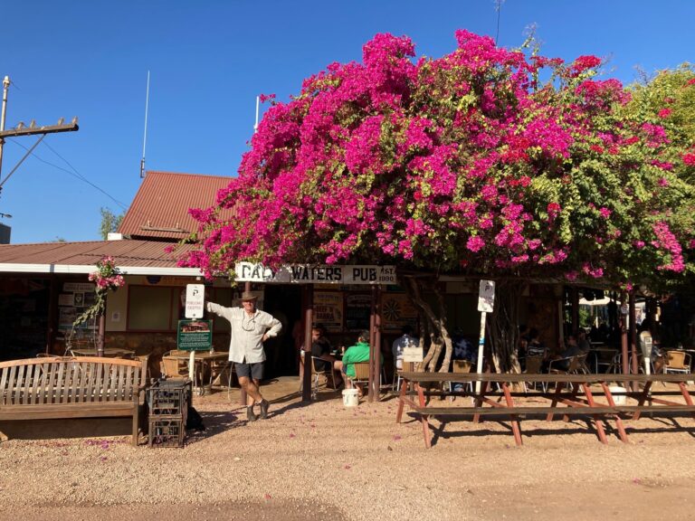
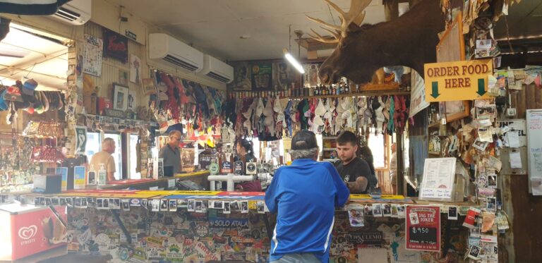
276 kilometres south of Katherine on the famous Stuart Highway that splits Australia in half is the locality of DALY WATERS where there is nothing but the famous outback pub and a quirky junk museum (Sooz: and the associated caravan park). And what a beauty the pub is! Totally politically incorrect with probably 200 lady’s bras hanging directly above the bar and all sorts of silly signs on the walls – some perhaps a bit crass but mostly just rough ‘n ready funny. Add in all sorts of other paraphernalia like posters of all kinds, bank notes, pre-owned caps & T-shirts, a moose head and on it goes. There is a ripping outdoor beer garden (Sooz: complete with a thong collection – the kind you wear on your feet) with nightly entertainment and a good menu including the pub’s ‘famous barra & beef’ main course. Right nearby is ‘Kev’s junk museum’ with features such as a farmers old busted helicopter body with a hills-hoist as it’s rotor blades. You get the idea. (Sooz: Don’t forget the collection of animals. There were chooks, and ducks, a goat, a crocodile and supposedly a donkey – though I could not see the donkey anywhere.) We had a good night in the beer garden enjoying pub grub and listening to some live music and we stayed in the camp ground next to the pub, which was packed! There must have been 70 or 80 caravans. It seemed that anyone travelling between Darwin & Adelaide must use this as one of their stop-over points
and why not. It’s a hoot. At a table near us we met a couple who had been on the road for 10 YEARS!!
ACCOMMODTAION RATING:
DALY WATERS PUB CAMP GROUND, NT 4/10 Sooz: 3/10
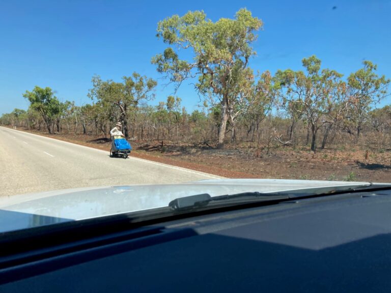
SIDE NOTE : It continues to amaze us how many fruitcake’s we have seen that are peddling their way through the outback? (Sooz: Every time we see one, we turn to each other and say “WEIRDO!”) What are these weirdo’s thinking? Is it meant to be fun, riding a push-bike laden with stuff while travelling through sometimes monotonous & hostile terrain, on harsh roads that are not meant for cyclists and hoping that huge road trains and Grey Nomads with failing eyesight, slow reactions and towing a caravan don’t clean you up? Nut-cases! In this section of our trip, we saw someone WALKING HIS OR HER WAY along the Stuart Highway, a hundred kilometres from anywhere, in 35 degrees C, PUSHING A PRAM. (Not only a complete Looney, but a bloody road hazard.)
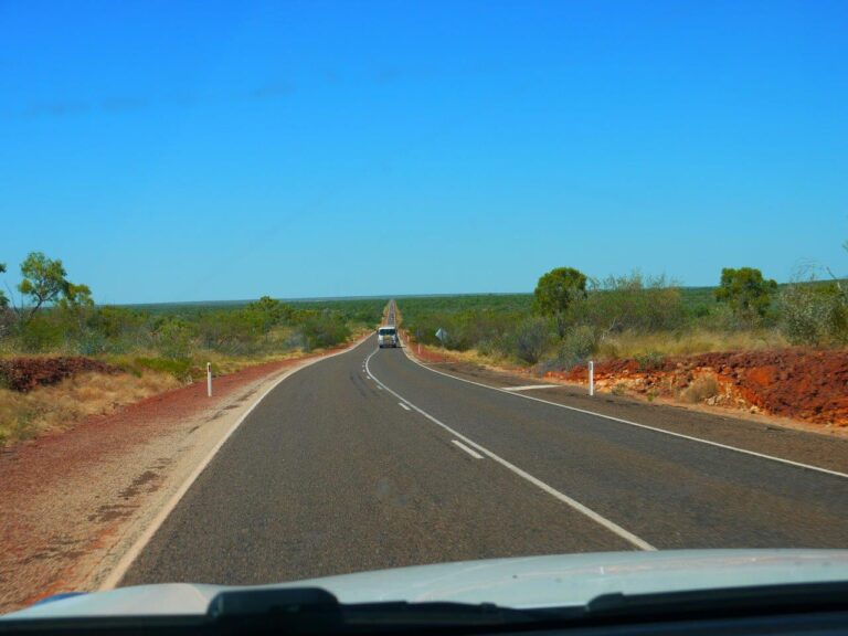
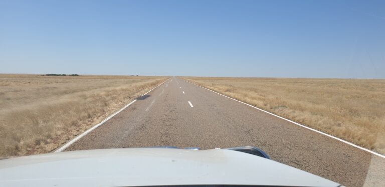
The next day was a long drive with not a lot to look at. At the road junction called ‘THREE WAYS’ which is just north of Tennant Creek, we turned left and headed East. The Barkly Highway wasn’t the best road we had ever been on and the NT’s reputation for sub-par roads wasn’t in debate. The BARKLY HOMESTEAD & ROADHOUSE was our target which had been complete rebuilt following a fire a couple of years ago. There was a menagerie of birds to greet us including a resident flock of about 30 Guinea Fowl roaming around plus large cages with galahs, red-tail black cockatoos, budgies and pretty green & yellow parrots we could not identify. (Sooz: All the parrots were rescue birds.) The place was a bit of an oasis in an arid area on the fringe of the Tanami Desert and apparently on the imaginary north/south line where ‘The Wet’ peters out.
ACCOMMODTAION RATING
BARKLY HOMESTEAD & ROADHOUSE, NT: 7/10 Sooz: 7.5/10
MOUNT ISA
Another rather long drive into Queensland and the mining town of MOUNT ISA. We have travelled 1300 km since Katherine with only two stop-overs which was similar to our traverse across The Nullarbor. But really, after leaving Katherine there was not much worth stopping for. There are a handful of explorer’s markers and one or two ‘historic sites’, like an ex-WWII hospital site which is now only a series of 80 year old overgrown concrete slabs. In some ways, the Nullarbor offered more.
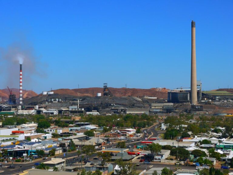
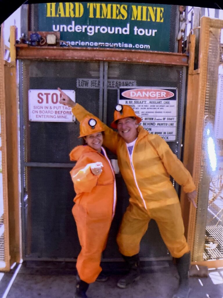
Upon entering Mount Isa, it is impossible not to see the huge and dominant smoke-stack that the town is built under. This 270 metre high concrete chimney is almost as high as the Eiffel Tower, took two years to build and is part of the Mt Isa Mines complex that employs half the town. Mount Isa is not the prettiest Australian country town that I have been to. But it has been and still is an economic powerhouse that produces lead, silver & zinc but most of all – copper. It is apparently the richest copper field in the world when considering the Cu grade per metric ton. And there is plenty that is yet to be dug up according to the crusty local miner that guided us through a terrific, 3-hour Underground Mining Tour. He was a character as you might expect and want, was a big guy and was still a miner after some 30 years. He was happy to volunteer as a guide in his spare time such is his love of his job and the town. (Sooz: He is also proudly third generation miner – his grandfather worked as a miner in the UK and his father in Mount Isa before him.) The tour included hands-on use of the big & heavy tools that drill holes into the rock face (Sooz: Nearly rattled the teeth out of my head), an exhibition of how explosives are set up and deployed (Sooz: this part was worrying, as our guide repeatedly mentioned how fun it is to blow things up!), being shunted around in rail cars and all sorts of other displays of underground machinery while wearing coveralls, mining gumboots and hard-hats with lamps on the front. There was lots of interesting information and yarns and stories. Great value-for-money and educational.
Now while Mount Isa may not win an award for the most attractive town in Western Queensland, I can say that the area around it is very appealing. It’s hilly in an unusual way. I mentioned to my darling passenger at one point that it seemed like we were amongst the hills of Columbia where you might expect coffee to be grown. It is a topography that I have never seen in Australia before. Different.
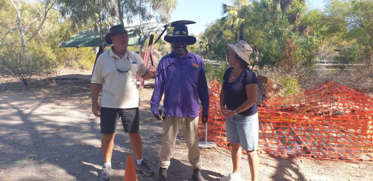
Now if you do ever visit this mining town, I will suggest that you do NOT pay good money the tobe part of the appealing sounding Bush Tucker Tour. Run out of the very good Tourist Information Centre (where the aforementioned Underground Mining Tour starts from) , this tour was a shambolic shocker. The old, one-eyed indigenous bloke (Mathew) stumbled into the Information Centre several minutes late, probably because he slept through his alarm due to a big night beforehand. Given that he slept in, he thus very obviously had no time to have a shower or brush his teeth. My various overloaded senses were actually guessing that no hygienic protocol had been undertaken for several days! Old Mathew showed us some Aboriginal tools such as spears and shields and boomerangs (Sooz: as well as some dried bush tucker) and then led us out into the garden area where, while taking two steps forward and three sideways, he did his best to show us and let us sample various berries and fruits that could be eaten. This was after he had slobbered over them before passing them to us to try. I was praying that he was getting all this right – I did not feel like spending then next day or so with a chronic belly-ache or worse, in the local hospital with a poisoned digestive system. (Sooz: Poor Mathew had his nose out of joint. Channel 7 was onsite filming some info on Bush Tucker, and someone had decided the sweet 20 something indigenous girl he worked with made a better on-air guide. As her elder, and possibly still drunk, he was quite vocal about her inexperience.)
We spent a nice afternoon at the nearby Lake Moondarra which is Isa’s playground. It’s a very nice, extensive body of water where you can swim, waterski, fish or just have a picnic. The kayak on the roof of our car that has not been wet for a couple of months was happy to have the dust washed off it.
ACCOMMODTAION RATING
AAOK MOONDARRA ACCOMODATION VILLAGE, MOUNT ISA 4/10 Sooz: 6/10 – It felt safe (other parks in the area recently had cars stolen and caravan break-ins)
CLONCURRY
The very attractive, hilly countryside lasted for about 50 kilometres after leaving Mount Isa. But then it deteriorated into quite a monotonous, flat plain. The road (Barkly Highway) deteriorated as well and I was forced to back the average speed off by about 10kmh. We were pushing through far Western Queensland and the next stop was Cloncurry for a couple of nights. Halfway between Mount Isa & Cloncurry and about 10 kilometres along a completely busted up road lies the now-abandoned Mary Kathleen uranium mine. Not only is the mine abandoned but so is the once bustling purpose-built town that was called the same name. Operations ceased in the early 1980’s because it became uneconomical with the supply of uranium dwindling. But the area was rehabilitated and now the large open-cut mine is full of water. Like the Blue Lake at Mt Gambier SA, the water is a vivid blue and is striking against the open-cut mine face that has all sorts of strangely ‘different’ looking rock faces. There are signs everywhere advising not to swim in the ‘contaminated water’ and consequently we were wondering if, by spending an hour in the area, we would glow in the dark. The town of Mary Kathleen is now nothing more than a series of concrete slabs scattered over a couple of hundred acres and if you want, you can camp there for the night and quite a few travellers seemed to be exercising that option.
Just outside of Cloncurry is the pretty Chinaman’s Creek Dam where our kayak got another dunking. The glossy tourist brochures said that it was stocked with barramundi but my fishing equipment disagreed.
The local Cloncurry bakery had a good twist on the common jam donut. These guys took the treat, sliced it in half and spread the jam across both halves and put them back together. I went back on day 2 for another one!
ACCOMMODTAION RATING:
CLONCURRY CARAVAN PARK OASIS 6.5/10 Sooz: 7/10
RICHMOND
RICHMOND is one of three towns in Western Queensland forming the so-called dinosaur triangle. WINTON is the best known of the three towns due to it being the only place on earth where there is hard evidence of a dinosaur stampede occurring. But we are not going via Winton – it’s a couple of hundred kilometres south.
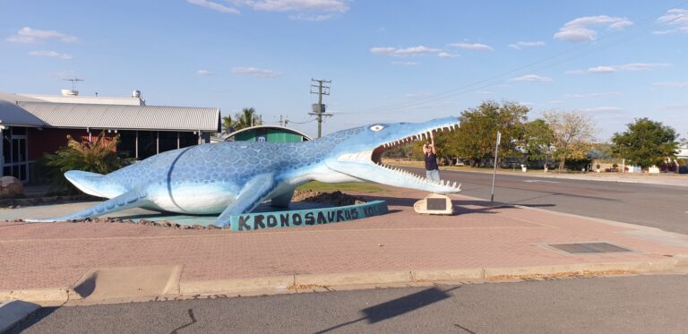
In Richmond, they have a museum they have called KRONASAURAS KORNER where there exists quite a fantastic display of various large, ferocious, fossilised marine creatures from 100 million years ago or more. They claim that some of the fossils are the most complete of their kind in the world. And I could see why. All dug up from local farmers paddocks and often discovered by accident. The whole area we were in was once at the bottom of a large sea that pushed down from the Gulf of Carpentaria and covered all of Western QLD, part of the NT and parts of western NSW and northern SA. Back in the day, Richmond would have been 60 metres underwater.
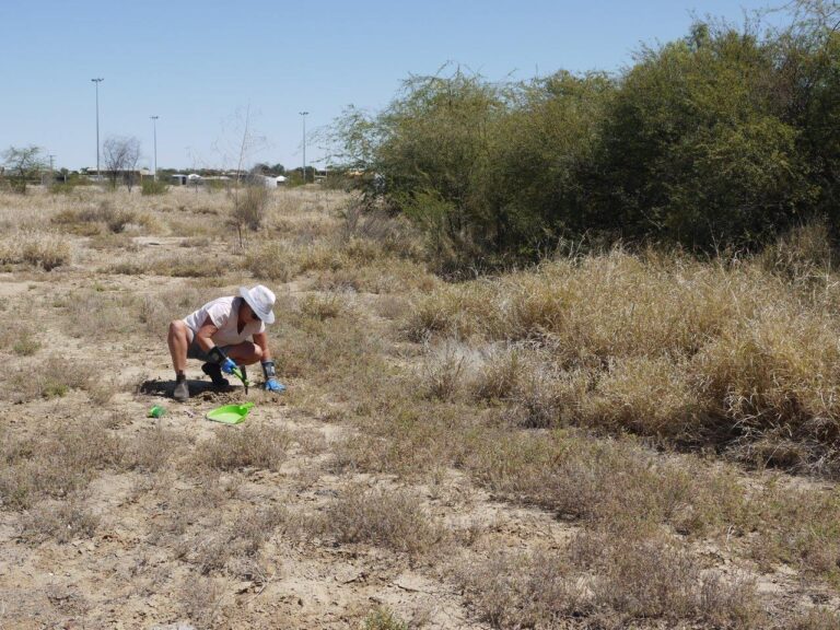
There was something about all of this that ignited some sort of primeval spark inside Susan. (Sooz: Actually, it was sparked in Broome, when I stood in the giant footprints left by dinosaurs.) Next thing she was determined to go fossicking to find her own dinosaur. I told her that she was already married to one but that was apparently not enough. Consequently, at a town called Hughenden which was the 3rd town in the Dinosaur Triangle and on our way to our next stop, we spent an hour and a half digging away and poking around at a designated rocky fossicking site. I was not in charge of anything at this time and wasn’t aware of what the plan was should we uncover the bones of a 12-metre-long prehistoric monster that weighed several tonnes, but fortunately the car suspension avoided a major stress test. Instead, a handful of ‘interesting’ rocks were kept by her to be carefully washed and closely analysed later. (Sooz: Upon said wash, exam and comparing with things onsite, I concluded that I found some small Coprolites! For those who don’t know what a coprolite is, its fossilised poo! Ugh!)
ACCOMMODTAION RATING:
LAKEVIEW CARAVAN PARK, RICHMOND QLD 7/10
CHARTERS TOWERS
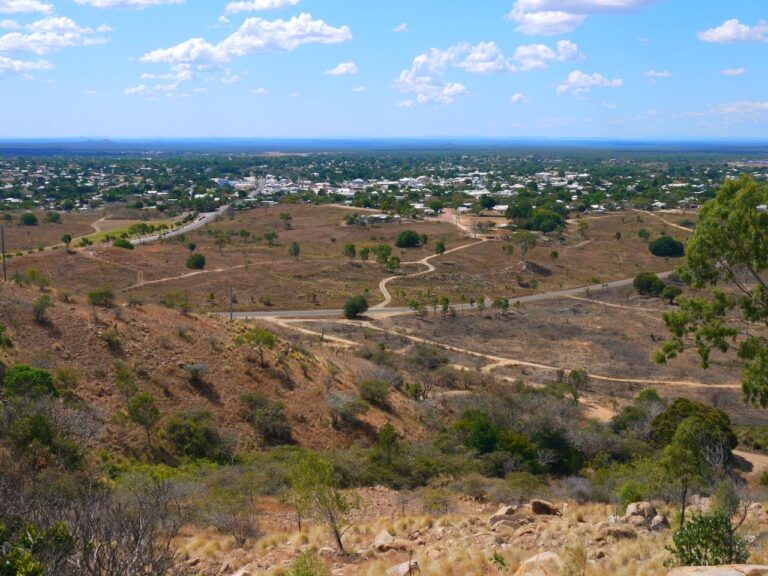
CHARTERS TOWERS, that strangely named town many of us have heard of but might struggle to point to where it is on an unmarked map, started it’s days as a Gold Rush town. Up here, in Northern Queensland, 150 km inland from Townsville. Really? Sure enough. One stormy afternoon in 1871, a bolt of lightning struck the ground near a local 12 year old aboriginal kid who happened to be with a group of prospectors and it uncovered a big chunk of the yellow stuff. And the town had a stock exchange and was once one of only 5 places in the world where the global gold price was set. And the gold produced here was far richer in grade than that of the Victorian or WA gold fields. You learn something every day. So because of when and why it began, Charters Towers thus has a number of charming buildings dating back to the late 1800’s. In it’s boom years, the population was north of 30,000, but today there is 8,500. There is a good view to be had from Tower Hill where that first chunk of gold was discovered and the hill now has more holes than a big piece of swiss cheese with all the abandoned mines in it.
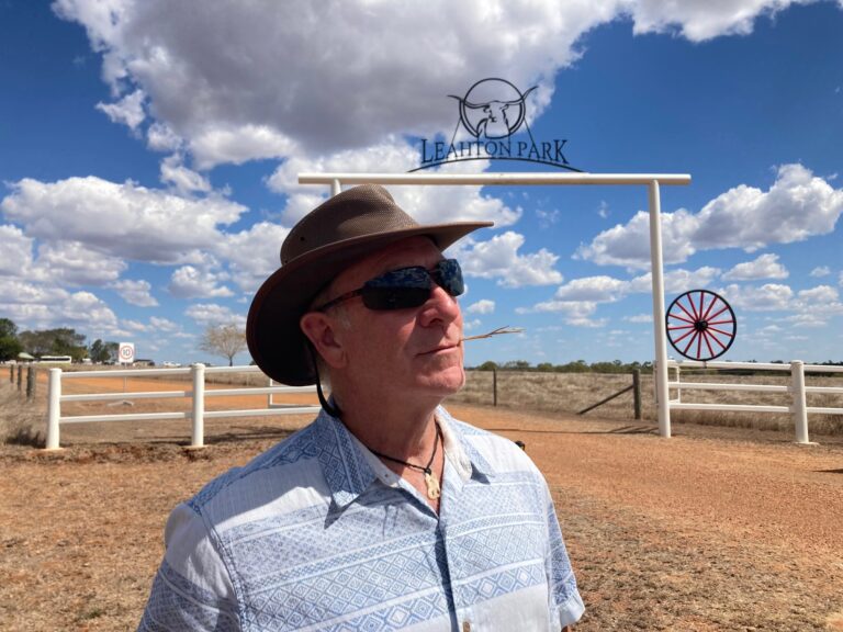
There is a great looking river nearby – the Burdekin. And here is another thing I learned – the Burdekin River – when it’s flowing at it’s peak in the wet season – discharges more water than any other Australian river! There is a good trivia question. We watched local kids catch and torment catfish at the local weir on a lovely afternoon and passed up the opportunity to go on a ‘safari’ to see Texas Longhorn cattle, for $95 per person. What?? You want $95 bucks a person to drive people over a farmers paddock in a jeep to look at cows that have long horns? Sheeesh.
ACCOMMODTAION RATING:
CHARTERS TOWERS G’DAY PARK 6/10 Sooz: 5.5/10
WE BOTH HAVE DROOPY BOTTOM LIPS. ☹ Because circumstances have determined that we need to complete our Great Rotation a bit earlier than ideally planned. Thus, as we cross the Great Dividing Range from the West and catch a glimpse of the beautiful blue Pacific Ocean, we realise that it’s all coming to an end even though we still have a couple of months remaining. The last 13 months has raced by in the blink of an eye – it’s very hard to believe.
Share this post: on Twitter on Facebook on Google+
Loved this blog, guys! I can’t believe you are nearly home (well… I guess Forster will now be ‘home’). Looking forward to seeing you again soon 🙂